Zustellung: Sa, 10.05. - Mi, 14.05.
Versand in 1-2 Wochen
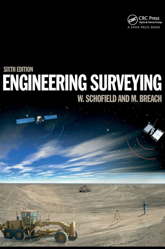
VersandkostenfreiThis covers the basic principles and practice such as vertical control, distance, angles and position right through to the most modern technologies: geodesy, GPS, satellite positioning, rigorous estimation of control coordinates, and mass data methods of photogrammetry and laser scanning and the role of inertial technology.
Inhaltsverzeichnis
Basic concepts of surveying
Error and uncertainty
Vertical control
Distance
Angles
Conventional control surveys
Rigorous methods of control
Position
Satellite positioning
Curves
Earthworks
Setting out (dimensional control)
Underground surveying
Mass data methods
Error and uncertainty
Vertical control
Distance
Angles
Conventional control surveys
Rigorous methods of control
Position
Satellite positioning
Curves
Earthworks
Setting out (dimensional control)
Underground surveying
Mass data methods
Produktdetails
Erscheinungsdatum
22. Juli 2019
Sprache
englisch
Auflage
6. Auflage
Seitenanzahl
638
Autor/Autorin
Mark Breach, W. Schofield
Verlag/Hersteller
Produktart
gebunden
Gewicht
1377 g
Größe (L/B/H)
260/183/38 mm
ISBN
9781138373167
Entdecken Sie mehr
Bewertungen
0 Bewertungen
Es wurden noch keine Bewertungen abgegeben. Schreiben Sie die erste Bewertung zu "Engineering Surveying" und helfen Sie damit anderen bei der Kaufentscheidung.


